![Item #BB2432 [Map] [Walker's] Berkshire. J., C. WALKER.](https://fineeditionsltd.cdn.bibliopolis.com/pictures/BB2432.jpeg?width=768&height=1000&fit=bounds&auto=webp&v=1634412495)
![[Map] [Walker's] Berkshire](https://fineeditionsltd.cdn.bibliopolis.com/pictures/BB2432_2.jpeg?auto=webp&v=1634412495)
[Map] [Walker's] Berkshire
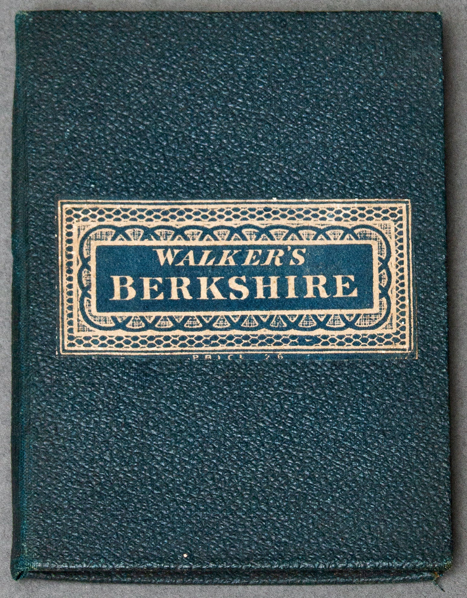
London: Longman and Co., Paternoster Row, and J. and C. Walker, 3, Burleigh Street, Strand, n.d. Later Printing. Decorative Cloth. Hand-colored engraved map (sectioned into 15 parts and mounted on linen) folded into pebbled green cloth wallet with decorative printed paper title label to upper cover. Covers measure 125 x 92mm; map sections, 115 x 85mm; scale, 10 English miles equal 80 mm. Principal roads marked in color; county boundaries hand-colored in outline. Printed sheet of statistics and tables of distances, town populations, market days, and fairs to inner upper cover. An excellent example, clean, tight, and unmarked. Fine. Item #BB2432
Originally published in 1835, as part of Walker's County Maps series (also including Cheshire, Cornwall, Cumberland, Devonshire, Durham, Hampshire, Westmoreland, Wiltshire, Worcestershire, Yorkshire East Riding, Yorkshire North Riding, and Yorkshire West Riding). N. B. With few exceptions (always identified), we only stock books in exceptional condition, carefully preserved in archival, removable mylar sleeves. All orders are packaged with care and posted promptly. Satisfaction guaranteed. (Fine Editions Ltd is a member of the Independent Online Booksellers Association, and we subscribe to its codes of ethics.).
Price: $139.00