![Item #BB2664 [Poland] [Napoleonic Wars] Theatre de la guerre actuelle, comprenant : la Prusse, la Pologne, une grande partie de la Russie, & de la Turquie européenne et asiatique jusqu'à la Mer Caspienne. Rigobert BONNE.](https://fineeditionsltd.cdn.bibliopolis.com/pictures/BB2664.jpeg?width=768&height=1000&fit=bounds&auto=webp&v=1634419917)
![[Poland] [Napoleonic Wars] Theatre de la guerre actuelle, comprenant : la Prusse, la Pologne, une grande partie de la Russie, & de la Turquie européenne et asiatique jusqu'à la Mer Caspienne](https://fineeditionsltd.cdn.bibliopolis.com/pictures/BB2664_2.jpeg?auto=webp&v=1634419917)
![[Poland] [Napoleonic Wars] Theatre de la guerre actuelle, comprenant : la Prusse, la Pologne, une grande partie de la Russie, & de la Turquie européenne et asiatique jusqu'à la Mer Caspienne](https://fineeditionsltd.cdn.bibliopolis.com/pictures/BB2664_3.jpeg?auto=webp&v=1634419917)
![[Poland] [Napoleonic Wars] Theatre de la guerre actuelle, comprenant : la Prusse, la Pologne, une grande partie de la Russie, & de la Turquie européenne et asiatique jusqu'à la Mer Caspienne](https://fineeditionsltd.cdn.bibliopolis.com/pictures/BB2664_4.jpeg?auto=webp&v=1634419917)
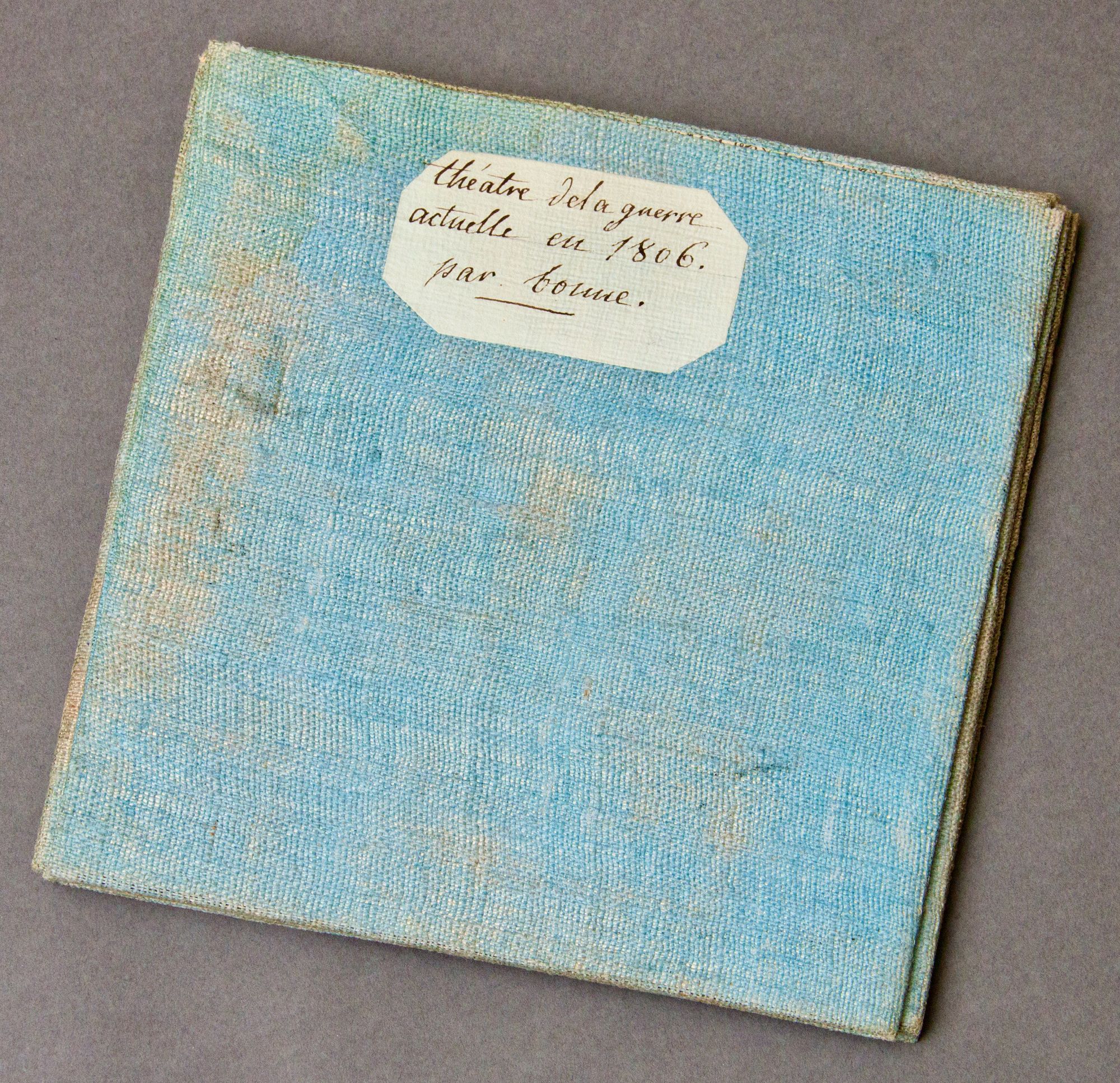
[Poland] [Napoleonic Wars] Theatre de la guerre actuelle, comprenant : la Prusse, la Pologne, une grande partie de la Russie, & de la Turquie européenne et asiatique jusqu'à la Mer Caspienne
A Paris: Treuttel & Würtz, rue de Lille, No. 17, c. 1807. Uncommon early nineteenth-century map (700 x 975mm), with contemporary hand coloring, of Poland and adjoining territories during the time of the Napoleonic Wars. Original copperplate engraving printed from 9 plates, then segment and laid down on blue linen with manuscript paper title label. Third State, with borders showing divisions after the Third Partition (private communication with Jakub Jakimiak of Antykwariat Kosmos, Warsaw). An excellent, richly colored example (some margins trimmed with loss of several letters), but a rare survival. Near Fine+. Item #BB2664
The Third Partition of Poland, in 1795, was the final in a series (following those in 1773 and 1792), progressively reducing Poland's territories until, after the third partition, the state of Poland ceased to exist for the next 123 years. The occupying powers (Russia, Prussia, and Austria) forced many Polish politicians, intellectuals, and revolutionaries to emigrate across Europe, many of whom served France in Napoleon's armies. Poland briefly regained semiautonomy in 1807 (about the time this state of the map was published) when Napoleon created the Duchy of Warsaw out of the central provinces of Prussian Poland. Rigobert Bonne succeeded Jacques Nicolas Bellin in 1773 as Royal Cartographer to France in the office of the Hydrographer at the Depôt de la Marine, after which he compiled some of the most detailed and accurate maps of the period. His work represents an important step in the evolution of cartography, away from the decorative aesthetic of the seventeenth and early eighteenth centuries toward a more detail oriented, practical bent. Treuttel & Würtz was founded in Strasbourg in 1770s and moved to Paris, while keeping shop in Strasbourg, about 1798. It was established at rue de Lille by 1804, setting an approximate date for this map. (See Giles Barber, "Treuttel and Würtz: Some Aspects of the Importation of Books from France, c. 1825," The Library, Vol. s5-XXIII, Issue 2 (June 1968), pp. 118-144) N. B. With few exceptions (always identified), we only stock books in exceptional condition, carefully preserved in archival, removable mylar sleeves. All orders are packaged with care and posted promptly. Satisfaction guaranteed. (Fine Editions Ltd is a member of the Independent Online Booksellers Association, and we subscribe to its codes of ethics.).
Price: $649.00